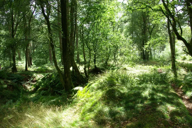
Black Down
Black Down is the 12052nd highest peak in the British Isles and the 1837th tallest in England
Elevation
280.0 m (919 ft)
Prominence
191.0 m (627 ft)
Survey method
Abney level
Features
Knoll
Category
- Marilyn
- Tump (200-299m)
- Historic County Top
- Current County/UA Top
- Administrative County Top
Nearest town
OS map sheets
OS25: 033 ( Haslemere & Petersfield)OS25: 133 (Haslemere & Petersfield)
OS50: 186 (Aldershot & Guildford, Camberley & Haslemere)
OS50: 197 (Chichester & The South Downs, Bognor Regis & Arundel)
Notes & comments
30m NNE of trig point (SU 91935 29610) and about 0.75m higher