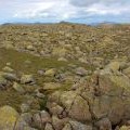
Blunt Top photos
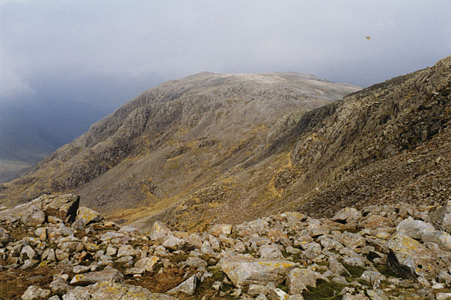
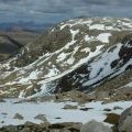
North west slopes of Ill Crag
and licensed for reuse under this Creative Commons Licence

Hover over the map markers to see associated photo. Note, some markers show photographer's position whilst others show photo subject location.
['North west slopes of Ill Crag',54.4602,-3.20028,'/public/geophotos/733032.jpg'],['Heading for Great End',54.4605,-3.19797,'/public/geophotos/994416.jpg'],['Esk Pike and Bow Fell',54.4604,-3.19751,'/public/geophotos/2269507.jpg'],['On the Ill Crag plateau',54.4584,-3.19899,'/public/geophotos/1705902.jpg'],['Great End',54.4596,-3.20057,'/public/geophotos/1799449.jpg'],['Great End From Ill Crag',54.4586,-3.19977,'/public/geophotos/917484.jpg']