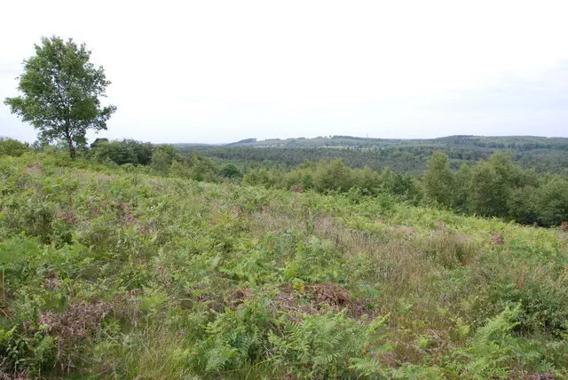
Castle Ring
Castle Ring is the 13299th highest peak in the British Isles and the 2176th tallest in England
Elevation
242.0 m (794 ft)
Prominence
101.0 m (331 ft)
Survey method
Abney level
Features
Path edge on top of embankment
Category
- Hump
- Tump (200-299m)
Nearest town
OS map sheets
OS50: 128 (Derby & Burton upon Trent)OS25: 244 (Cannock Chase & Chasewater, Stafford Rugeley & Cannock)
Notes & comments
This point is 12m N of spot height marker (SK 04314 12886)