Hedgehope Hill
Hedgehope Hill is the 2221st highest peak in the British Isles and the 160th tallest in England
Elevation
714.4 m (2344 ft)
Prominence
147.2 m (483 ft)
Survey method
Abney level/Leica Disto/Leica RX1250
Features
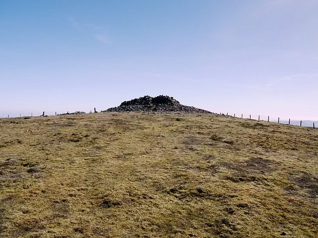
Trig point on ancient cairn
Category
Hill / mountain range
Nearest town
OS map sheets
OS25: 016E (The Cheviot Hills)OS50: 080 (Cheviot Hills & Kielder Water)
Notes & comments
Height value refers to edge of ancient cairn (NT 94381 19798) which is highest visible natural ground