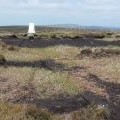
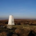
Hoof Stones Height photos
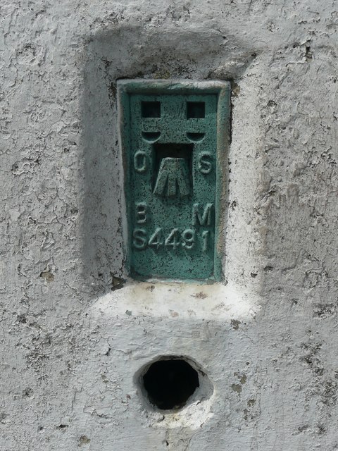
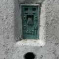
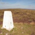
Bench mark on the triangulation pillar on Hoof Stones Height
and licensed for reuse under this Creative Commons Licence
Hover over the map markers to see associated photo. Note, some markers show photographer's position whilst others show photo subject location.
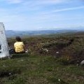
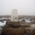
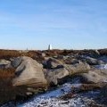
['Bench mark on the triangulation pillar on Hoof Stones Height',53.7582,-2.13192,'/public/geophotos/2454459.jpg'],['Triangulation pillar on Hoof Stones Height',53.7582,-2.13192,'/public/geophotos/2454467.jpg'],['Trig point on Hoof Stones Height',53.7582,-2.13162,'/public/geophotos/2767889.jpg'],['Trig point, Hoof Stones Height',53.7582,-2.1316,'/public/geophotos/40879.jpg'],['Hoof Stones Height',53.7582,-2.13146,'/public/geophotos/27029.jpg'],['Trig point on Hoof Stones Height',53.758,-2.13161,'/public/geophotos/1748649.jpg'],['Stones and trig point on Hoof Stones Height',53.7581,-2.13237,'/public/geophotos/2767899.jpg'],['The southern end of Black Hameldon',53.7576,-2.13146,'/public/geophotos/2520228.jpg'],['Waymarker, Hoof Stones Height',53.7573,-2.13343,'/public/geophotos/41084.jpg']