Kinder Scout photos
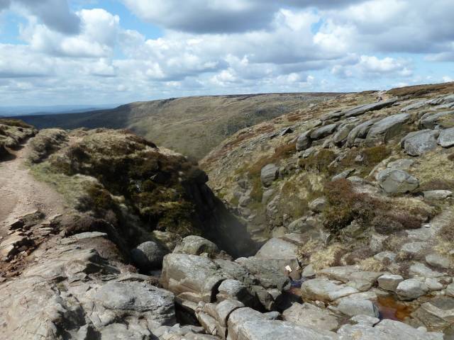
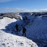
Red Brook exiting the plateau (and the grid square)
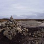
and licensed for reuse under this Creative Commons Licence
Hover over the map markers to see associated photo. Note, some markers show photographer's position whilst others show photo subject location.
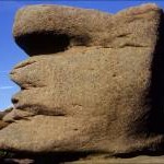
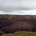
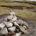
['Red Brook exiting the plateau (and the grid square)',53.3886,-1.88073,'/public/geophotos/2943644.jpg'],['Kinder Scout',53.3847,-1.87307,'/public/geophotos/4446904.jpg'],['The disputed summit of Kinder Scout',53.3844,-1.87172,'/public/geophotos/2177933.jpg'],['One of the tributaries of Red Brook',53.3868,-1.87878,'/public/geophotos/2177929.jpg'],['The Wool Packs',53.3804,-1.86782,'/public/geophotos/1397903.jpg'],['Peat on Kinder plateau',53.3854,-1.87307,'/public/geophotos/1714679.jpg'],['Kinder Scout summit',53.3852,-1.87217,'/public/geophotos/76502.jpg'],['Kinder scout\'s true summit',53.3845,-1.87112,'/public/geophotos/1665133.jpg']