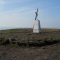
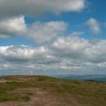
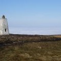
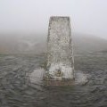
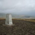
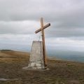
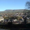
Pendle Hill photos
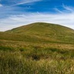
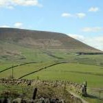
Pendle Hill across Twiston Beck
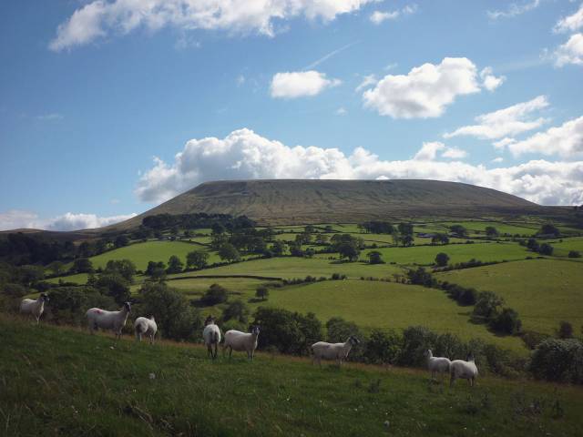
and licensed for reuse under this Creative Commons Licence
Hover over the map markers to see associated photo. Note, some markers show photographer's position whilst others show photo subject location.
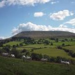
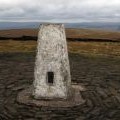
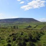
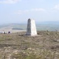
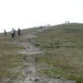
['Pendle Hill across Twiston Beck',53.8732,-2.29912,'/public/geophotos/2547352.jpg'],['Trig point on Pendle Hill',53.8686,-2.29864,'/public/geophotos/2247721.jpg'],['Pendle Hill from Aitken Wood',53.8657,-2.29877,'/public/geophotos/5579647.jpg'],['Pendle Hill',53.872,-2.2979,'/public/geophotos/4269732.jpg'],['Top of Pendle Hill',53.8716,-2.29729,'/public/geophotos/3790349.jpg'],['Path on the side of Pendle',53.8712,-2.29576,'/public/geophotos/3811732.jpg'],['Big End - Pendle Hill',53.872,-2.2944,'/public/geophotos/2137693.jpg'],['Trig pillar and Pendle Cross',53.8686,-2.29848,'/public/geophotos/2367875.jpg'],['The trig point on Pendle',53.8685,-2.29864,'/public/geophotos/1640321.jpg'],['The top of Pendle',53.8687,-2.29864,'/public/geophotos/1695975.jpg'],['Trig point on Pendle 1831\'',53.8684,-2.29848,'/public/geophotos/1182447.jpg'],['Trig Pillar, Pendle Hill',53.8685,-2.29833,'/public/geophotos/1216988.jpg'],['Pendle Summit, Easter 2009',53.8683,-2.29894,'/public/geophotos/1243068.jpg'],['Pendle Hill - Western Aspect',53.8691,-2.29834,'/public/geophotos/2700626.jpg'],['Pendle Hill',53.8687,-2.29788,'/public/geophotos/5578549.jpg'],['Big End of Pendle Hill',53.8684,-2.29955,'/public/geophotos/640574.jpg'],['Pendle Hill',53.8684,-2.29955,'/public/geophotos/659064.jpg']