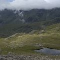
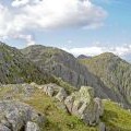
Shelter Crags photos
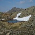
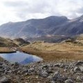
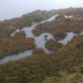
A small tarn on the ridge between Crinkle Crags and Shelter Crags

and licensed for reuse under this Creative Commons Licence

Hover over the map markers to see associated photo. Note, some markers show photographer's position whilst others show photo subject location.
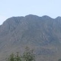
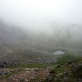
['A small tarn on the ridge between Crinkle Crags and Shelter Crags',54.4379,-3.15846,'/public/geophotos/1940835.jpg'],['Crinkle Crags from Great Langdale',54.438,-3.15692,'/public/geophotos/572437.jpg'],['Frozen tarn between 3rd & 4th Crinkle Crags',54.4375,-3.15922,'/public/geophotos/2331470.jpg'],['Small tarn, Crinkle Crags',54.4371,-3.15905,'/public/geophotos/1986064.jpg'],['Saturated Ground on Gunson Knott',54.4379,-3.16016,'/public/geophotos/1004231.jpg'],['Small Tarn on Crinkle Crags',54.4366,-3.15904,'/public/geophotos/1367521.jpg'],['The second and third Crinkle',54.4387,-3.15617,'/public/geophotos/871962.jpg'],['Crinkle Crags',54.4367,-3.15627,'/public/geophotos/19102.jpg']