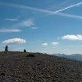
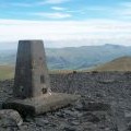
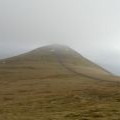
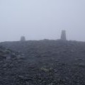
Skiddaw photos
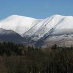
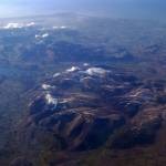
The Skiddaw range under snow

and licensed for reuse under this Creative Commons Licence

Hover over the map markers to see associated photo. Note, some markers show photographer's position whilst others show photo subject location.
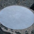
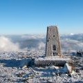
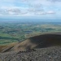
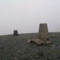
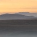
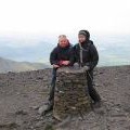
['The Skiddaw range under snow',54.6506,-3.14838,'/public/geophotos/3381406.jpg'],['Skiddaw Viewing plate',54.6513,-3.14778,'/public/geophotos/2048115.jpg'],['Summit area of Skiddaw',54.6515,-3.14794,'/public/geophotos/2707514.jpg'],['North ridge of Skiddaw',54.6543,-3.14709,'/public/geophotos/4623080.jpg'],['The northern end of Skiddaw',54.6576,-3.14703,'/public/geophotos/1712442.jpg'],['Skidaw from the air',54.6552,-3.14076,'/public/geophotos/1703927.jpg'],['Summit of Skiddaw',54.6514,-3.14778,'/public/geophotos/2566254.jpg'],['Skiddaw at sunset',54.6514,-3.14778,'/public/geophotos/2785892.jpg'],['Skiddaw summit viewfinder',54.6515,-3.14776,'/public/geophotos/817973.jpg'],['The top of Skiddaw',54.6513,-3.14778,'/public/geophotos/1712446.jpg'],['The trig point on Skiddaw',54.6514,-3.14763,'/public/geophotos/1712461.jpg'],['Path Up Skiddaw',54.6512,-3.14778,'/public/geophotos/2322400.jpg'],['The summit of Skiddaw in mist',54.6515,-3.14763,'/public/geophotos/2327539.jpg'],['Trig Pillar, Skiddaw',54.6515,-3.14794,'/public/geophotos/1087040.jpg']