Sour Howes
Sour Howes is the 6504th highest peak in the British Isles and the 752nd tallest in England
Elevation
483.0 m (1585 ft)
Prominence
35.0 m (115 ft)
Survey method
Abney level
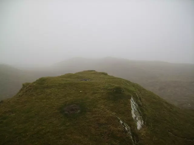
Features
Grassy hummock
Category
- Tump (400-499m)
- Wainwright
- Birkett
- Synge
Hill / mountain range
Nearest town
OS map sheets
OS25: 007N (The English Lakes)OS50: 090 (Penrith & Keswick, Ambleside)
Notes & comments
Wainwright's summit is probably shaly ridge 60m ESE NY 42832 03198; Wainwright's sketch map may be misleading as it indicates summit is further SW where ground is obviously lower