Sourfoot Fell
Sourfoot Fell is the 8336th highest peak in the British Isles and the 1042nd tallest in England
Elevation
411.0 m (1348 ft)
Prominence
32.0 m (105 ft)
Survey method
Abney level
Features
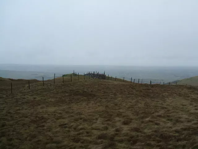
Tiny cairn
Category
- Tump (400-499m)
- Birkett
- Synge
Hill / mountain range
Nearest town
OS map sheets
OS25: 004S (The English Lakes)OS50: 089 (West Cumbria, Cockermouth & Wast Water)
OS25: 303 (Whitehaven & Workington, Cockermouth & Egremont)