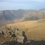
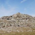
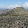
Symonds Knott photos
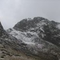
On Symonds Knott
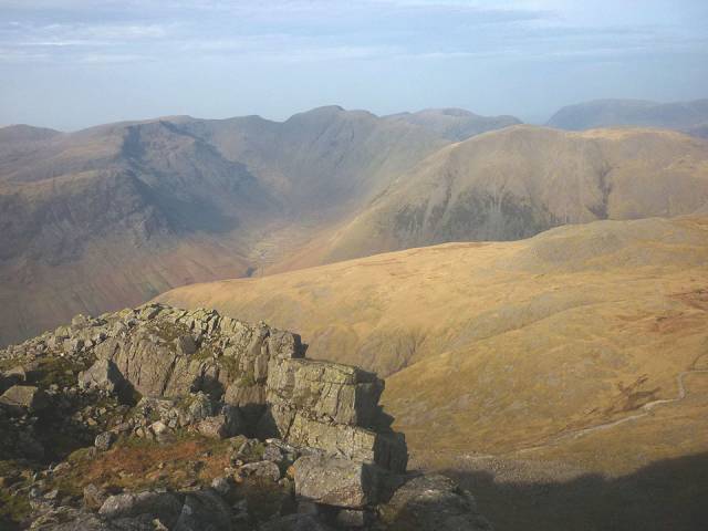
and licensed for reuse under this Creative Commons Licence
Hover over the map markers to see associated photo. Note, some markers show photographer's position whilst others show photo subject location.
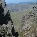
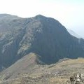
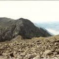
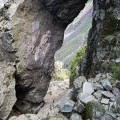
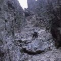
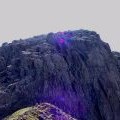
['On Symonds Knott',54.4499,-3.22327,'/public/geophotos/6069409.jpg'],['Symonds Knott and Scafell Pike.',54.4495,-3.22294,'/public/geophotos/246554.jpg'],['Foxes Tarn, Scafell',54.4471,-3.22118,'/public/geophotos/6069402.jpg'],['Symond Knott',54.4498,-3.22326,'/public/geophotos/1329660.jpg'],['The head of Deep Gill',54.4499,-3.2228,'/public/geophotos/1532388.jpg'],['Scafell from Scafell Pike',54.4499,-3.22265,'/public/geophotos/535718.jpg'],['Scafell',54.4495,-3.22294,'/public/geophotos/127950.jpg'],['Symonds Knott.',54.4495,-3.22294,'/public/geophotos/246529.jpg'],['Looking through a rock arch, Lord\'s Rake',54.451,-3.2233,'/public/geophotos/1329629.jpg'],['Lord\'s Rake, Scafell, in 1971',54.451,-3.22284,'/public/geophotos/2201773.jpg'],['Scafell Crag',54.4503,-3.2242,'/public/geophotos/1673807.jpg'],['Scafell Crag',54.4502,-3.22435,'/public/geophotos/770554.jpg']