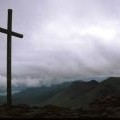
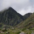
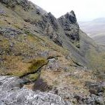
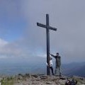
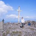
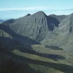
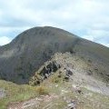
Carrauntoohil photos
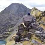
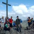
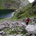
On The Pinnacles

and licensed for reuse under this Creative Commons Licence
Hover over the map markers to see associated photo. Note, some markers show photographer's position whilst others show photo subject location.
['On The Pinnacles',52.0003,-9.74497,'/public/geophotos/2448277.jpg'],['Carrauntoohil',51.999,-9.74397,'/public/geophotos/1992558.jpg'],['NE face of Carrauntoohil, with Bro O\'Shea\'s Gulley to RHS',52,-9.74109,'/public/geophotos/539219.jpg'],['Behind Hags Teeth',52.0041,-9.73449,'/public/geophotos/777769.jpg'],['The summit of Carrauntoohil',51.9991,-9.74251,'/public/geophotos/331996.jpg'],['Macgillycuddy\'s Reeks: Corrán Tuathail (Carrauntoohil)',51.9992,-9.74325,'/public/geophotos/1434274.jpg'],['Carrauntoohil group from Cruach Mhor',51.9996,-9.7413,'/public/geophotos/3431906.jpg'],['Carrauntoohil',51.999,-9.74397,'/public/geophotos/113636.jpg'],['Crowds on Carrauntoohil Summit',51.999,-9.74397,'/public/geophotos/113637.jpg'],['Corrán Tuathail /Carrauntoohil',52,-9.74109,'/public/geophotos/290402.jpg'],['Looking NE from above Coimin Lochtarach (Loch-head hollow, Level 1)',52,-9.74109,'/public/geophotos/539221.jpg'],['Looking E from below Coimin Lair (Slope Hollow, Level 2) towards Coimin Lochtarach (Loch-head hollow, Level 1)',52,-9.74109,'/public/geophotos/539222.jpg'],['Looking NE from foot of Bro O\'Shea\'s Gulley over Loch Coimin Uachtarach',52,-9.74109,'/public/geophotos/539223.jpg'],['Cathair na Féinne',52.0001,-9.74656,'/public/geophotos/5806822.jpg']