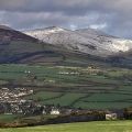
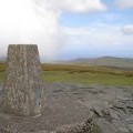
Snaefell photos
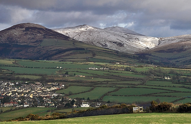
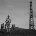
Snaefell from The Braaid
and licensed for reuse under this Creative Commons Licence
Hover over the map markers to see associated photo. Note, some markers show photographer's position whilst others show photo subject location.
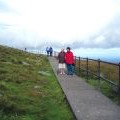
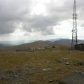
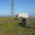
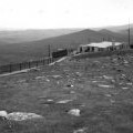
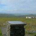
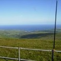
['Snaefell from The Braaid',54.2633,-4.46165,'/public/geophotos/675536.jpg'],['Snae Fell Trig Pillar',54.2632,-4.46162,'/public/geophotos/2571608.jpg'],['Snaefell summit',54.2637,-4.46165,'/public/geophotos/2816238.jpg'],['Path to Snaefell Summit',54.2627,-4.46174,'/public/geophotos/1677107.jpg'],['The deserted summit of Snaefell',54.2628,-4.46191,'/public/geophotos/2145321.jpg'],['Trig point and toposcope on Snaefell',54.2638,-4.46135,'/public/geophotos/2737101.jpg'],['On Snaefell Mountain',54.2628,-4.46221,'/public/geophotos/1409324.jpg'],['Snaefell summit',54.2627,-4.46221,'/public/geophotos/2818602.jpg'],['The Summit of Snaefell looking south',54.2634,-4.46271,'/public/geophotos/96228.jpg'],['View from the top of Snaefell towards Laxey',54.2635,-4.46057,'/public/geophotos/491350.jpg']