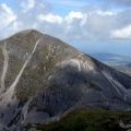
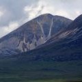
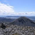
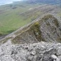
Beinn an Oir photos
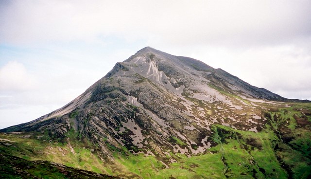
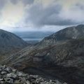
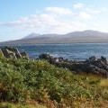
Beinn an Oir, south side
and licensed for reuse under this Creative Commons Licence
Hover over the map markers to see associated photo. Note, some markers show photographer's position whilst others show photo subject location.
['Beinn an Oir, south side',55.9025,-6.00413,'/public/geophotos/1464863.jpg'],['The summit of Beinn an Oir',55.9026,-6.00413,'/public/geophotos/1465142.jpg'],['Island of Jura - (2)',55.9024,-6.00379,'/public/geophotos/2996716.jpg'],['The Paps of Jura',55.9026,-6.00429,'/public/geophotos/860543.jpg'],['Beinn an Oir from Beinn a\' Chaolais',55.9026,-6.00397,'/public/geophotos/1087317.jpg'],['Beinn an Oir',55.902,-6.00423,'/public/geophotos/822761.jpg'],['The Paps of Jura from the slopes of Ben Lomond',55.902,-6.00423,'/public/geophotos/1227295.jpg'],['Isle of Jura from An Claddach Bothy',55.902,-6.00423,'/public/geophotos/2043180.jpg'],['Summit of Beinn an Oir',55.9023,-6.00458,'/public/geophotos/448811.jpg'],['South of the summit of Beinn an Oir',55.9014,-6.00416,'/public/geophotos/2988318.jpg']