Ben Lomond photos
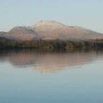
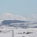
Snow-covered Ben Lomond
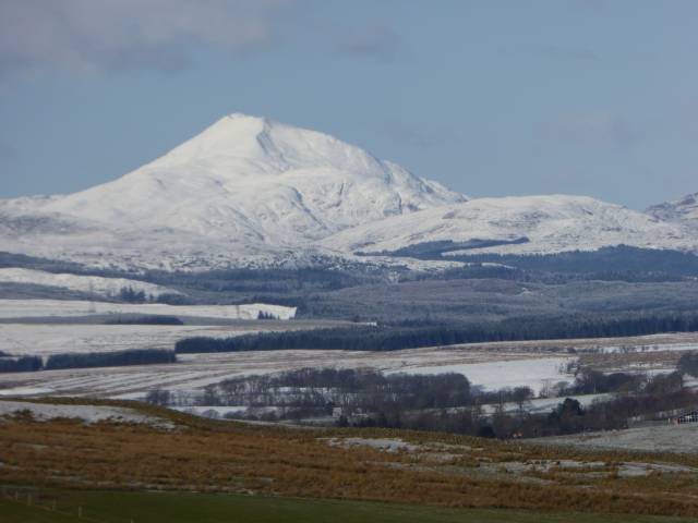
and licensed for reuse under this Creative Commons Licence
Hover over the map markers to see associated photo. Note, some markers show photographer's position whilst others show photo subject location.
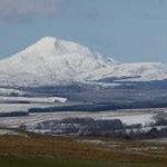
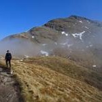
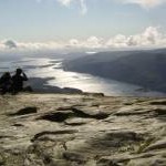
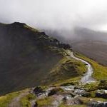
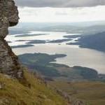
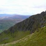
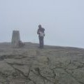
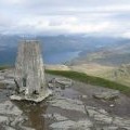
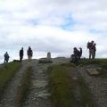
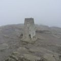
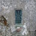
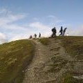
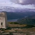
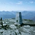
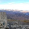
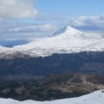
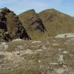
['Snow-covered Ben Lomond',56.1883,-4.63027,'/public/geophotos/4827250.jpg'],['The Ben Appears',56.1902,-4.63346,'/public/geophotos/4879871.jpg'],['Summit of Ben Lomond, looking southwest',56.1892,-4.63387,'/public/geophotos/564138.jpg'],['Path near the summit of Ben Lomond.',56.1891,-4.63177,'/public/geophotos/5586583.jpg'],['Loch Lomond from Ben Lomond',56.1907,-4.63672,'/public/geophotos/2033123.jpg'],['Cliffs near the summit of Ben Lomond',56.1895,-4.62922,'/public/geophotos/2032361.jpg'],['Ben Lomond',56.187,-4.63614,'/public/geophotos/5624481.jpg'],['Trig and bare rock at the summit',56.1903,-4.63314,'/public/geophotos/2305950.jpg'],['Trig Point on Ben Lomond',56.1902,-4.63314,'/public/geophotos/1320436.jpg'],['Ben Lomond',56.1902,-4.63314,'/public/geophotos/1752468.jpg'],['Busy day on the summit of Ben Lomond',56.1901,-4.63297,'/public/geophotos/2032367.jpg'],['Summit trig on Ben Lomond',56.1901,-4.63313,'/public/geophotos/2307806.jpg'],['Flush bracket on the trig point',56.1901,-4.63313,'/public/geophotos/2307811.jpg'],['Ben Lomond summit',56.19,-4.63312,'/public/geophotos/564130.jpg'],['Trig Point on Ben Lomond',56.19,-4.63312,'/public/geophotos/995563.jpg'],['Summit of Ben Lomond',56.19,-4.63312,'/public/geophotos/1014244.jpg'],['The summit of Ben Lomond',56.19,-4.63312,'/public/geophotos/2157624.jpg'],['Ben Lomond',56.1909,-4.63593,'/public/geophotos/3397056.jpg'],['Ben Lomond summit and the arretes',56.1892,-4.63038,'/public/geophotos/1914263.jpg']