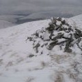
Druim Fada West Top photos
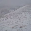
West top, Druim Fada

and licensed for reuse under this Creative Commons Licence
Hover over the map markers to see associated photo. Note, some markers show photographer's position whilst others show photo subject location.
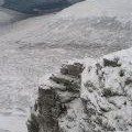
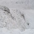
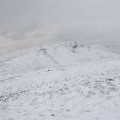
['West top, Druim Fada',56.8904,-5.18538,'/public/geophotos/656830.jpg'],['Buttress and gully, Coire an Fhuidhir',56.8907,-5.18474,'/public/geophotos/656824.jpg'],['Steep ground, Druim Fada',56.8912,-5.18495,'/public/geophotos/656834.jpg'],['Druim Fada',56.8896,-5.18465,'/public/geophotos/656906.jpg'],['Druim Fada, the west top',56.8897,-5.18663,'/public/geophotos/656776.jpg']