Glamaig - Sgurr Mhairi photos
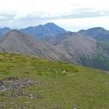
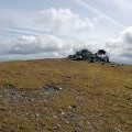
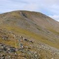
South from Sgurr Mhairi

and licensed for reuse under this Creative Commons Licence
Hover over the map markers to see associated photo. Note, some markers show photographer's position whilst others show photo subject location.
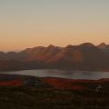
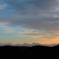
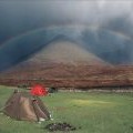
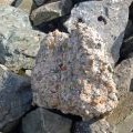
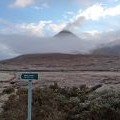
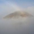
['South from Sgurr Mhairi',57.2927,-6.12841,'/public/geophotos/1964242.jpg'],['Glamaig and the Cuillin from Dun Caan',57.2932,-6.12833,'/public/geophotos/718590.jpg'],['The Skye Cuillin from near Kyle of Lochalsh',57.2927,-6.12777,'/public/geophotos/372182.jpg'],['Glamaig Rainbow',57.2933,-6.12801,'/public/geophotos/624674.jpg'],['The last remains of the Glamaig trig point',57.2927,-6.12942,'/public/geophotos/726954.jpg'],['Sgurr Mhairi summit',57.2927,-6.12942,'/public/geophotos/726964.jpg'],['Mist rising past Sgurr Mhairi',57.2928,-6.12944,'/public/geophotos/2276941.jpg'],['Sgurr Mhairi (Glamaig)',57.2914,-6.12928,'/public/geophotos/612567.jpg'],['Sgurr Mhairi (Glamaig)',57.2942,-6.1271,'/public/geophotos/528099.jpg']