Marilyns in the The Glenkens to Annandale region
Map of Marilyns in the The Glenkens to Annandale region. Click on pins to view mountain details.
The mountain guide has mountains listed.....
| Image | Name | Height (metres) | Height (feet) |
|---|---|---|---|
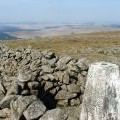 |
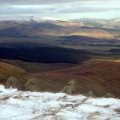
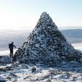
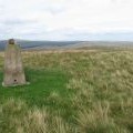
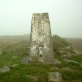
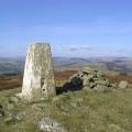
Cairnsmore of Carsphairn | 797 | 2615 |
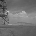 |
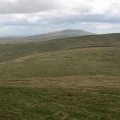
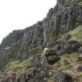
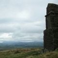
Green Lowther | 732 | 2402 |
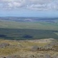 |
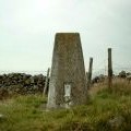
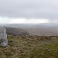
Blackcraig Hill | 701 | 2300 |
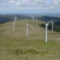 |
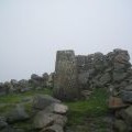
Windy Standard | 698 | 2290 |
 |
Queensberry | 697 | 2287 |
 |
Ballencleuch Law | 689 | 2260 |
 |
Well Hill | 606 | 1988 |
 |
Colt Hill | 598 | 1962 |
 |
Cairn Table | 593 | 1946 |
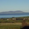 |
Criffel | 569 | 1867 |
 |
Cairnkinna Hill | 554 | 1818 |
 |
Wether Hill | 535 | 1755 |
 |
Kirkland Hill | 511 | 1677 |
 |
Benbeoch | 463 | 1519 |
 |
Cairn Hill | 451 | 1480 |
 |
Bogrie Hill | 432 | 1417 |
 |
Fell Hill | 417 | 1368 |
 |
Bennan | 398 | 1306 |
 |
Bishop Forest Hill | 392 | 1286 |
 |
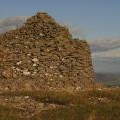
Bengairn | 391 | 1283 |
 |
Wauk Hill | 357 | 1171 |
 |
Mochrum Fell | 317 | 1040 |
 |
Bainloch Hill | 287 | 942 |
 |
Woodhead Hill | 258 | 846 |
 |
Hightown Hill | 250 | 820 |