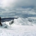
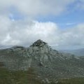
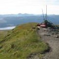
Meall nan Tarmachan photos
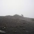
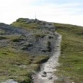
The Summit, Meall nan Tarmachan

and licensed for reuse under this Creative Commons Licence
Hover over the map markers to see associated photo. Note, some markers show photographer's position whilst others show photo subject location.
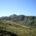
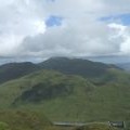
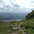
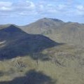
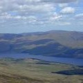
['The Summit, Meall nan Tarmachan',56.5219,-4.30134,'/public/geophotos/880652.jpg'],['On the summit of Meall nan Tarmachan',56.5219,-4.3015,'/public/geophotos/2176159.jpg'],['Summit of Meall nan Tarmachan',56.5215,-4.30164,'/public/geophotos/2562852.jpg'],['Cairn on the summit of Meall nan Tarmachan',56.5212,-4.30146,'/public/geophotos/1485638.jpg'],['Meall nan Tarmachan from Meall Corranaich',56.5219,-4.30101,'/public/geophotos/980366.jpg'],['Ben Lawers',56.5221,-4.30087,'/public/geophotos/2562817.jpg'],['Meall nan Tarmachan hill path',56.5218,-4.30052,'/public/geophotos/2562835.jpg'],['Ben Lawers from Meall nan Tarmachan',56.5222,-4.30087,'/public/geophotos/1819219.jpg'],['Approaching the summit of Meall nan Tarmachan',56.5218,-4.30036,'/public/geophotos/1485206.jpg'],['Loch Tay from Meall nan Tarmachan',56.5212,-4.29967,'/public/geophotos/1819211.jpg']