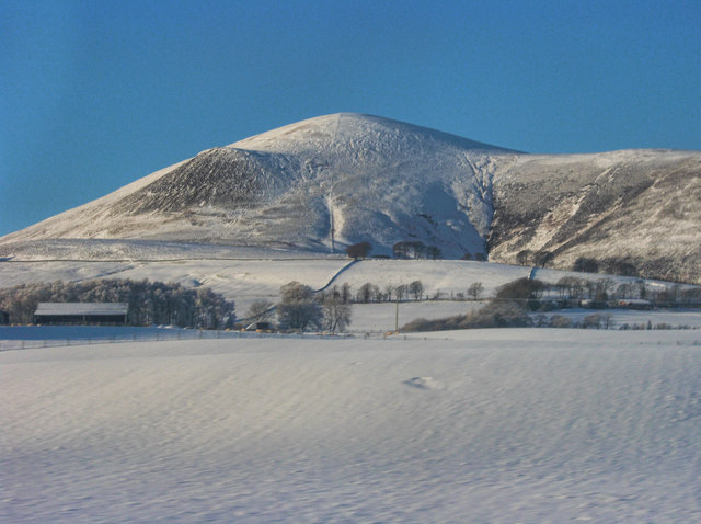
Tinto photos
Tinto
and licensed for reuse under this Creative Commons Licence
Hover over the map markers to see associated photo. Note, some markers show photographer's position whilst others show photo subject location.
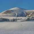
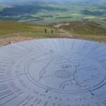
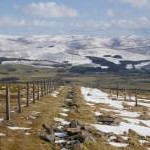
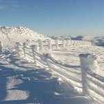
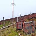
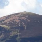
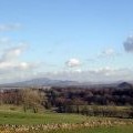
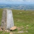
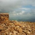
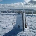
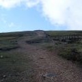
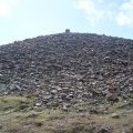
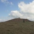
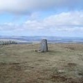
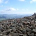
['Tinto',55.5917,-3.66303,'/public/geophotos/2190562.jpg'],['The toposcope at Tinto summit',55.5917,-3.66255,'/public/geophotos/4023372.jpg'],['Vista from Tinto',55.5915,-3.66223,'/public/geophotos/5742099.jpg'],['Fences at the summit of Tinto',55.5915,-3.66334,'/public/geophotos/3361110.jpg'],['Equipment',55.5928,-3.65959,'/public/geophotos/5758644.jpg'],['A zigzag path on Tinto',55.5893,-3.6588,'/public/geophotos/3085809.jpg'],['Tinto and the Glaikhead (Lesmahagow) bing',55.5919,-3.66256,'/public/geophotos/332184.jpg'],['Trigpoint on Tinto',55.5918,-3.66272,'/public/geophotos/911964.jpg'],['Summit of Tinto',55.5918,-3.66272,'/public/geophotos/947267.jpg'],['Trig point and ice architecture, Tinto Hill',55.5918,-3.66272,'/public/geophotos/1731377.jpg'],['Nearing the summit of Tinto Hill',55.5917,-3.66287,'/public/geophotos/1257699.jpg'],['Summit cairn, Tinto Hill',55.5916,-3.66223,'/public/geophotos/1257703.jpg'],['Summit of Tinto',55.5916,-3.66223,'/public/geophotos/1845142.jpg'],['Trig point, Tinto Hill',55.5917,-3.66303,'/public/geophotos/1257707.jpg'],['From the side of the cairn on Tinto Hill',55.5918,-3.66208,'/public/geophotos/1257710.jpg']