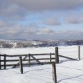
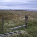
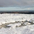
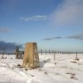
Windlestraw Law photos
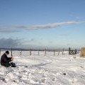
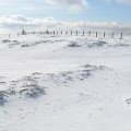
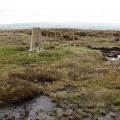
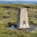
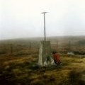
Summit, Windlestraw Law

and licensed for reuse under this Creative Commons Licence
Hover over the map markers to see associated photo. Note, some markers show photographer's position whilst others show photo subject location.
['Summit, Windlestraw Law',55.6777,-3.0013,'/public/geophotos/1720832.jpg'],['Summit fences, Windlestraw Law',55.6773,-3.00081,'/public/geophotos/557910.jpg'],['At the summit area of Windlestraw Law',55.6773,-3.00081,'/public/geophotos/2163857.jpg'],['The triangulation pillar on Windlestraw Law',55.6775,-3.00098,'/public/geophotos/2162274.jpg'],['Windlestraw Law',55.6775,-3.00098,'/public/geophotos/2163588.jpg'],['Windlestraw Law',55.6774,-3.00082,'/public/geophotos/1726205.jpg'],['Summit, Windlestraw Law',55.6773,-3.00065,'/public/geophotos/2430076.jpg'],['Triangulation pillar, Windlestraw Law',55.6773,-3.00065,'/public/geophotos/2430083.jpg'],['Windlestraw Law trig point',55.6774,-3.0005,'/public/geophotos/526995.jpg'],['Windlestraw Law, Trig Point',55.6774,-3.0005,'/public/geophotos/1041910.jpg']