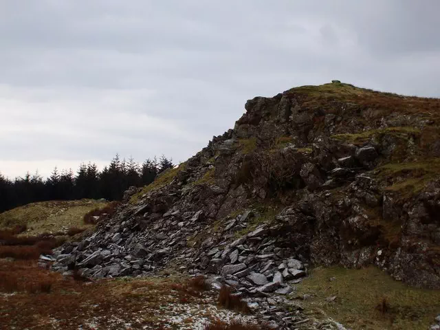
Moel Cae'r-defaid West Top
Moel Cae'r-defaid West Top is the 5162nd highest peak in the British Isles and the 428th tallest in Wales
Elevation
531.1 m (1742 ft)
Prominence
69.0 m (226 ft)
Survey method
Leica NA730/Leica 530
Features
Single stone on rocky knoll
Category
- Dewey
Hill / mountain range
Nearest town
OS map sheets
OS25: 023E (Cadair Idris & Bala Lake/Llyn Tegid)OS50: 124 (Dolgellau & Porthmadog)
OS50: 125 (Bala & Lake Vyrnwy, Berwyn)
Notes & comments
Grassy knoll 65m SSE at SH 80094 24625 is 1.6m lower