Black Edge
Black Edge is the 5844th highest peak in the British Isles and the 663rd tallest in England
Elevation
507.0 m (1663 ft)
Prominence
99.0 m (325 ft)
Survey method
Abney level
Features
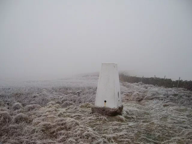
Trig point
Category
- Dewey
- Subhump
Hill / mountain range
Nearest town
OS map sheets
OS25: 024W (The Peak District)OS50: 119 (Buxton & Matlock, Bakewell & Dove Dale)
Notes & comments
Ground 130m to N at SK 06275 77140 and ruined building 650m SSE at SK 06045 76385 of equal height
Alternative summits 507m at SK062771 and SK060763. Deleted from Humps list in March 2011 owing to information from Vector mapping