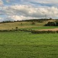
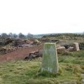
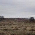
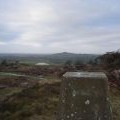
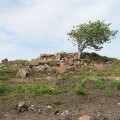
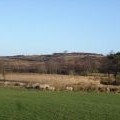
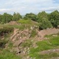
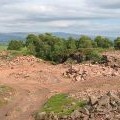
Blaze Fell photos
Blaze Fell

and licensed for reuse under this Creative Commons Licence

Hover over the map markers to see associated photo. Note, some markers show photographer's position whilst others show photo subject location.
['Blaze Fell',54.782,-2.78484,'/public/geophotos/2709376.jpg'],['Trig pillar on Blaze Fell',54.7823,-2.78469,'/public/geophotos/1579667.jpg'],['Blaze Fell from the west',54.7822,-2.78453,'/public/geophotos/669220.jpg'],['Trig Point on Blaze Fell looking towards Barrock Fell',54.7822,-2.78453,'/public/geophotos/669229.jpg'],['Blaze Fell Quarry & Trig Point (plus a quarry troll?)',54.7823,-2.78438,'/public/geophotos/669438.jpg'],['Rowan, Blaze Fell',54.7821,-2.78547,'/public/geophotos/843534.jpg'],['Blaze Fell summit from the south',54.7821,-2.7836,'/public/geophotos/672902.jpg'],['Quarry workings, Blaze Fell',54.7813,-2.78374,'/public/geophotos/843540.jpg'],['Quarry, Blaze Fell',54.7822,-2.78282,'/public/geophotos/843553.jpg']