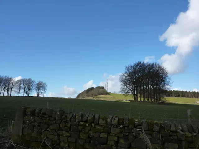
Bolehill
Bolehill is the 10748th highest peak in the British Isles and the 1534th tallest in England
Elevation
323.0 m (1060 ft)
Prominence
104.0 m (341 ft)
Survey method
Abney level
Features
Moss and bramble covered rock on W side of fence 20m SSE of trig point
Category
- Hump
- Tump (300-399m)
Nearest town
OS map sheets
OS25: 024E (The Peak District)OS50: 119 (Buxton & Matlock, Bakewell & Dove Dale)
Notes & comments
Carved boulder 20m SSE at SK 29406 55328, and ground by trig point on man-made circular plinth at SK 29386 55356 are both lower