Botley Hill (old GR) photos
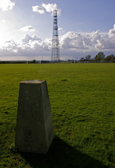
Botley Hill trig point
and licensed for reuse under this Creative Commons Licence
Hover over the map markers to see associated photo. Note, some markers show photographer's position whilst others show photo subject location.
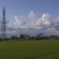
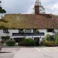
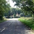
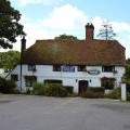
['Botley Hill trig point',51.2801,0.000043,'/public/geophotos/788400.jpg'],['Park Lane Cottages',51.2811,0.001232,'/public/geophotos/788409.jpg'],['The Ridge',51.2809,0.002227,'/public/geophotos/2419899.jpg'],['Botley Hill mast',51.2815,-0.001188,'/public/geophotos/788403.jpg'],['Botley Hill Farmhouse Public House',51.2816,-0.001184,'/public/geophotos/47512.jpg'],['Botley Hill junction of B269 and B2024, CR6',51.2816,-0.001184,'/public/geophotos/53446.jpg'],['Titsey: Botley Hill Farmhouse',51.2817,-0.00161,'/public/geophotos/3039233.jpg']