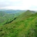
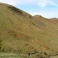
Brownthwaite Crag photos
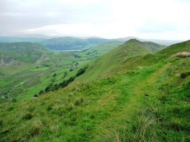
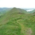
The path to Martindale
and licensed for reuse under this Creative Commons Licence
Hover over the map markers to see associated photo. Note, some markers show photographer's position whilst others show photo subject location.
['The path to Martindale',54.5481,-2.86352,'/public/geophotos/3001886.jpg'],['Brownthwaite Crag',54.5493,-2.86153,'/public/geophotos/1796660.jpg'],['The path to Martindale',54.5496,-2.8637,'/public/geophotos/3001889.jpg']