Chanctonbury Ring photos
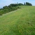
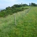
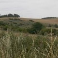
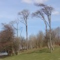
On the way to Chanctonbury Ring

and licensed for reuse under this Creative Commons Licence
Hover over the map markers to see associated photo. Note, some markers show photographer's position whilst others show photo subject location.
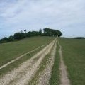
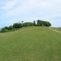
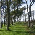
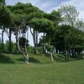
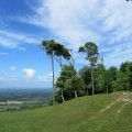
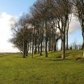
['On the way to Chanctonbury Ring',50.8967,-0.382184,'/public/geophotos/2562201.jpg'],['Approaching Chanctonbury Ring on the South Downs Way',50.8966,-0.382045,'/public/geophotos/2454910.jpg'],['The South Downs scarp by Chanctonbury Ring',50.8967,-0.382468,'/public/geophotos/2562208.jpg'],['Approaching Chanctonbury Ring from the West',50.8968,-0.382039,'/public/geophotos/2428866.jpg'],['View across valley to Chanctonbury Ring',50.8967,-0.3819,'/public/geophotos/1989939.jpg'],['Beech trees',50.8965,-0.381764,'/public/geophotos/589332.jpg'],['Part of Chanctonbury Ring',50.8965,-0.381764,'/public/geophotos/2454919.jpg'],['Western Edge of Chanctonbury Ring',50.897,-0.382317,'/public/geophotos/2428878.jpg'],['Chanctonbury Ring',50.8968,-0.381897,'/public/geophotos/2274413.jpg'],['Outer ring of trees at Chanctonbury Ring',50.8964,-0.381767,'/public/geophotos/2222382.jpg']