Cold Moor photos
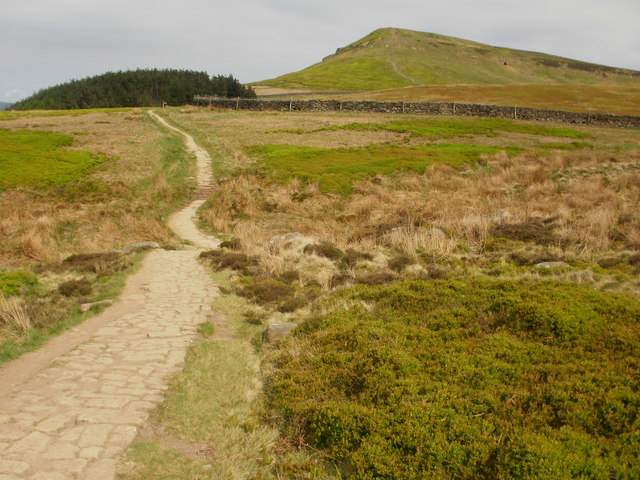
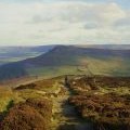
Path leading to the middle top on Cringle Moor
and licensed for reuse under this Creative Commons Licence
Hover over the map markers to see associated photo. Note, some markers show photographer's position whilst others show photo subject location.
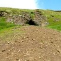
['Path leading to the middle top on Cringle Moor',54.4231,-1.15215,'/public/geophotos/2392584.jpg'],['Cairn on Broughton Bank',54.4236,-1.15291,'/public/geophotos/1823124.jpg'],['On Broughton Bank',54.4236,-1.1526,'/public/geophotos/1823121.jpg'],['Leaving Cringle moor.',54.4231,-1.15492,'/public/geophotos/2202847.jpg'],['Disused Mine Entrance and Spoil Tip, Cold Moor',54.4225,-1.15524,'/public/geophotos/2494917.jpg']
