Dundry Down photos
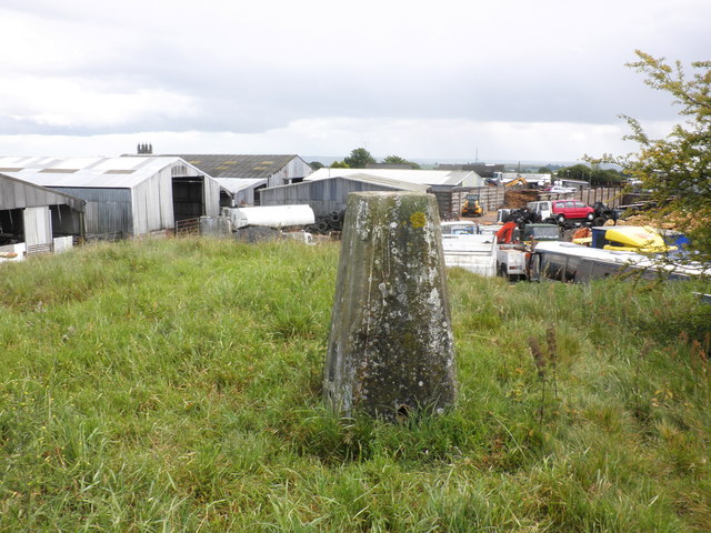
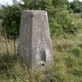
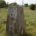
Trig point, at the top of Dundry Down
and licensed for reuse under this Creative Commons Licence
Hover over the map markers to see associated photo. Note, some markers show photographer's position whilst others show photo subject location.
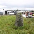
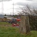
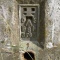
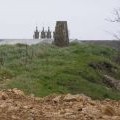
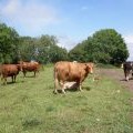
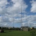
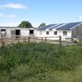
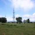
['Trig point, at the top of Dundry Down',51.3977,-2.64348,'/public/geophotos/2450707.jpg'],['Trig point and environs of summit of Dundry Down',51.3977,-2.64319,'/public/geophotos/2633686.jpg'],['Triangulation pillar, Dundry',51.3976,-2.64304,'/public/geophotos/1945344.jpg'],['Flush bracket, Dundry trig point',51.3976,-2.64304,'/public/geophotos/1945349.jpg'],['Trig point and masts, Dundry',51.3976,-2.64304,'/public/geophotos/1945358.jpg'],['Dundry Trig Point',51.3976,-2.64304,'/public/geophotos/2141776.jpg'],['Cattle, near the right of way on Dundry Down',51.3976,-2.64463,'/public/geophotos/2452313.jpg'],['Radio Masts',51.3969,-2.64117,'/public/geophotos/2570491.jpg'],['Stables, on Dundry Down',51.3964,-2.64547,'/public/geophotos/2452338.jpg'],['Communications masts, on Dundry Down',51.3992,-2.64565,'/public/geophotos/2450695.jpg']