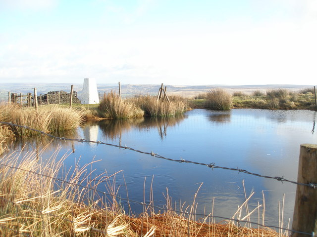
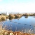
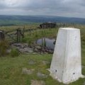
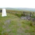
Freeholds Top photos
Freeholds Top
and licensed for reuse under this Creative Commons Licence
Hover over the map markers to see associated photo. Note, some markers show photographer's position whilst others show photo subject location.
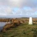
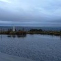
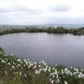
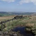
['Freeholds Top',53.6933,-2.14383,'/public/geophotos/2772788.jpg'],['Trig point on Freeholds Top with Calderdale behind',53.6932,-2.14383,'/public/geophotos/2468621.jpg'],['Trig point and pond on Freeholds Top',53.6932,-2.14413,'/public/geophotos/2468445.jpg'],['Freeholds Top',53.6932,-2.14428,'/public/geophotos/2772789.jpg'],['Freeholds Top trig pillar',53.6926,-2.14383,'/public/geophotos/84889.jpg'],['Pond at Freeholds Top',53.6926,-2.14383,'/public/geophotos/2362336.jpg'],['The view from Freeholds Top',53.6939,-2.14293,'/public/geophotos/2354666.jpg'],['Bench mark on the triangulation pillar, Freehold Top, Todmorden',53.6926,-2.14534,'/public/geophotos/1962598.jpg'],['Triangulation pillar and gate, Freehold Top, Todmorden',53.6926,-2.14534,'/public/geophotos/1962618.jpg']