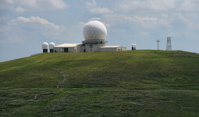
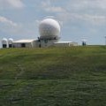
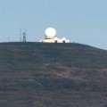
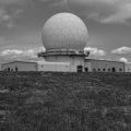
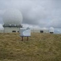
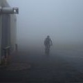
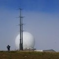
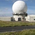
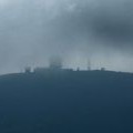
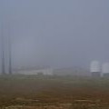
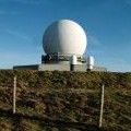
Great Dun Fell photos
Great Dun Fell
and licensed for reuse under this Creative Commons Licence
Hover over the map markers to see associated photo. Note, some markers show photographer's position whilst others show photo subject location.
['Great Dun Fell',54.6837,-2.4507,'/public/geophotos/2225230.jpg'],['Great Dun Fell',54.6837,-2.45086,'/public/geophotos/1330844.jpg'],['Great Dun Fell',54.6838,-2.45086,'/public/geophotos/1936442.jpg'],['Radar Station',54.6838,-2.45055,'/public/geophotos/1856551.jpg'],['In cloud on Great Dun Fell',54.684,-2.45071,'/public/geophotos/904752.jpg'],['The air traffic radar station',54.6837,-2.45039,'/public/geophotos/1602653.jpg'],['Road leading to Civil Aviation Authority installation on Great Dun Fell',54.6837,-2.45039,'/public/geophotos/2183328.jpg'],['Great Dun Fell',54.6839,-2.45055,'/public/geophotos/897787.jpg'],['The air traffic radar station',54.6838,-2.45039,'/public/geophotos/1602658.jpg'],['Radomes, Great Dun Fell',54.6838,-2.45039,'/public/geophotos/1616680.jpg']