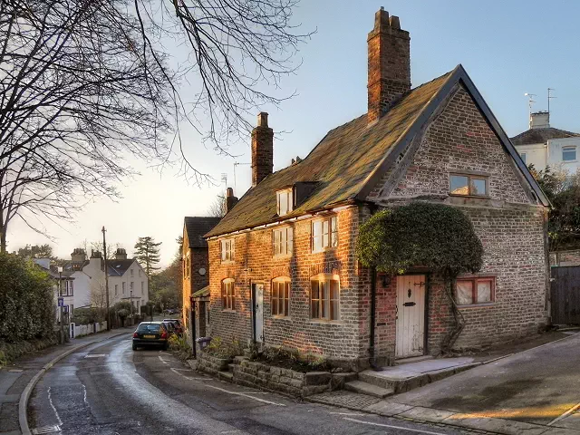
Green Walk (Bowdon)

Green Walk (Bowdon) is the 19590th highest peak in the British Isles and the 4277th tallest in England
Elevation
67.0 m (220 ft)
Prominence
25.0 m (82 ft)
Survey method
Abney level
Features
Telegraph pole opposite The Cedars
Category
- Current County/UA Top
Nearest town
OS map sheets
OS50: 109 (Manchester, Bolton & Warrington)OS25: 268N (Wilmslow, Macclesfield & Congleton, Altrincham, Knutsford & Sandbach)
Notes & comments
Alternative high points at SJ 76015 87417 (St Margarets Road) and SJ 76024 87521 (St Margarets Road/Woodville Road); old maps suggest both are lower
The 65m and 70m contours to the N on 1:25k map around The Devisdale are incorrectly labelled - should be 60m and 55m.