Harrow Road photos
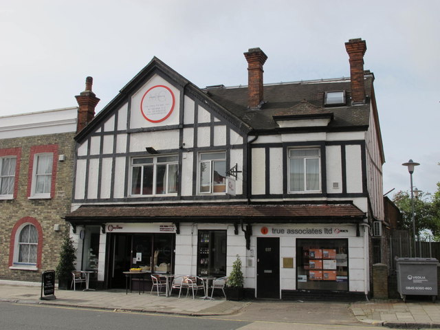
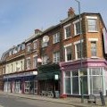
Mock Tudorbethan building, Harrow Road, NW10
and licensed for reuse under this Creative Commons Licence
Hover over the map markers to see associated photo. Note, some markers show photographer's position whilst others show photo subject location.
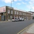
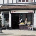
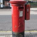
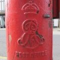
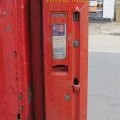
['Mock Tudorbethan building, Harrow Road, NW10',51.5305,-0.229052,'/public/geophotos/2636981.jpg'],['Harrow Road, NW10',51.5304,-0.228771,'/public/geophotos/2629497.jpg'],['Terraced houses, Harrow Road, NW10',51.5304,-0.228784,'/public/geophotos/2629465.jpg'],['Kensal Green: St Mary\'s Terrace, Harrow Road',51.5304,-0.228915,'/public/geophotos/2084452.jpg'],['The Crazy Baker, Harrow Road, NW10',51.5305,-0.229024,'/public/geophotos/2636972.jpg'],['Edward VII postbox, Harrow Road / Felixstowe Road, NW10',51.5307,-0.229005,'/public/geophotos/2629473.jpg'],['Edward VII postbox, Harrow Road / Felixstowe Road, NW10 - royal cipher',51.5307,-0.229005,'/public/geophotos/2629476.jpg'],['Edward VII postbox, Harrow Road / Felixstowe Road, NW10 - stamp vending machine',51.5307,-0.229005,'/public/geophotos/2629480.jpg'],['Shops and flats, Harrow Road, NW10',51.5308,-0.229459,'/public/geophotos/2636969.jpg']