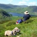
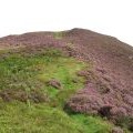
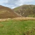
Lad Hows photos
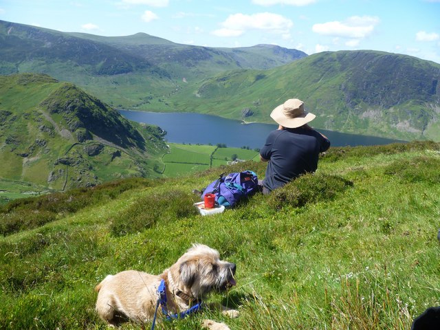
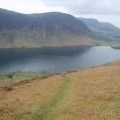
Brew Time
and licensed for reuse under this Creative Commons Licence
Hover over the map markers to see associated photo. Note, some markers show photographer's position whilst others show photo subject location.
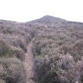
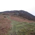
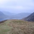
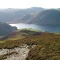
['Brew Time',54.562,-3.28199,'/public/geophotos/2483430.jpg'],['Looking to the summit of Lad Hows',54.562,-3.28199,'/public/geophotos/2595802.jpg'],['Lad Hows',54.5624,-3.28153,'/public/geophotos/1531983.jpg'],['Final ascent to Lad Hows.',54.563,-3.28202,'/public/geophotos/116094.jpg'],['Distinct path up to Lad Hows.',54.5621,-3.28354,'/public/geophotos/116102.jpg'],['Down the path',54.5621,-3.28354,'/public/geophotos/116103.jpg'],['Looking down Lad Hows',54.563,-3.28109,'/public/geophotos/1531887.jpg'],['Descending lad Hows',54.5628,-3.28387,'/public/geophotos/1804146.jpg']