Langdon Hill (boundary) photos
Bluebell wood
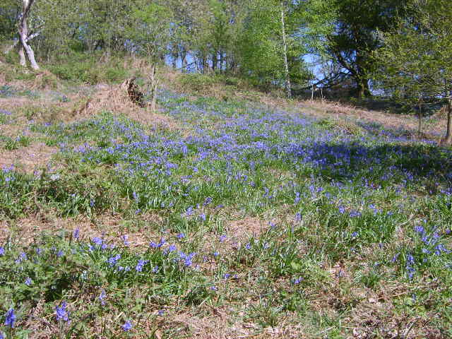
and licensed for reuse under this Creative Commons Licence


Hover over the map markers to see associated photo. Note, some markers show photographer's position whilst others show photo subject location.
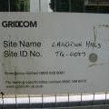
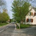
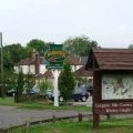
['Bluebell wood',51.5511,0.420706,'/public/geophotos/406708.jpg'],['Gridcom tower',51.5523,0.420912,'/public/geophotos/415841.jpg'],['Gridcom sign',51.5523,0.420912,'/public/geophotos/415853.jpg'],['High Road, Langdon Hills',51.5521,0.419745,'/public/geophotos/415831.jpg'],['St Mary’s & All Saints',51.5515,0.418851,'/public/geophotos/51725.jpg'],['Westley Heights Country Park.Entrance',51.5524,0.421781,'/public/geophotos/52125.jpg']