Ling Fell
Ling Fell is the 9360th highest peak in the British Isles and the 1244th tallest in England
Elevation
373.0 m (1224 ft)
Prominence
97.0 m (318 ft)
Survey method
Abney level
Features
No feature
Category
- Tump (300-399m)
- Subhump
- Wainwright
- Birkett
- Synge
- Fellranger
Hill / mountain range
Nearest town
OS map sheets
OS25: 004S (The English Lakes)OS50: 089 (West Cumbria, Cockermouth & Wast Water)
OS50: 090 (Penrith & Keswick, Ambleside)
Notes & comments
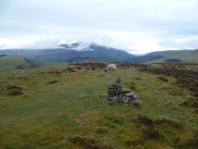
Ground is 1m higher than trig point 70m NNW at NY17961 28593 (W,B); cairn 50m N at NY 17982 28582 is 0.5m lower