Mynydd Ferddin
Mynydd Ferddin is the 10749th highest peak in the British Isles and the 1535th tallest in England
Elevation
323.0 m (1060 ft)
Prominence
120.0 m (394 ft)
Survey method
Abney level
Features
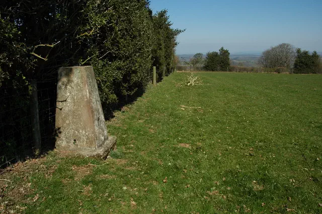
No feature: ground 40m S of trig point
Category
- Hump
- Tump (300-399m)
Nearest town
Abergavenny/Y Fenni, Monmouthshire
OS map sheets
OS25: 013N (Brecon Beacons National Park)OS50: 149 (Hereford & Leominster, Bromyard & Ledbury)
OS50: 161 (Abergavenny & The Black Mountains/Y Mynyddoedd Duon)
Notes & comments
Trig point is at SO 34427 28542