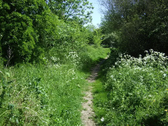
Nether Hall

Nether Hall is the 18101st highest peak in the British Isles and the 3884th tallest in England
Elevation
110.0 m (361 ft)
Prominence
0.0 m (0 ft)
Features
Junction of Hamilton Lane and Keyham Lane West
Category
- Current County/UA Top
Nearest town
OS map sheets
OS50: 140 (Leicester, Coventry & Rugby)OS25: 233E (Leicester & Hinckley)
Notes & comments
110m contour crosses boundary here. 110m contour also touches boundary 1km South at SK 64405 05435, Scraptoft residential area but ground probably lower here