Randygill Top
Randygill Top is the 3419th highest peak in the British Isles and the 321st tallest in England
Elevation
624.0 m (2047 ft)
Prominence
131.0 m (430 ft)
Survey method
Abney level
Features
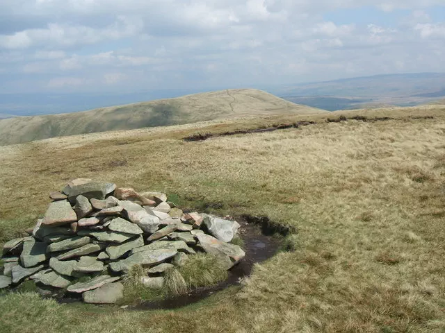
Cairn
Category
Hill / mountain range
Nearest town
OS map sheets
OS25: 019S (Howgill Fells and Upper Eden Valley)OS50: 091 (Appleby-in-Westmorland)
Notes & comments
Ground 5m SE and 5m SW is as high