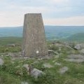
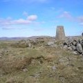
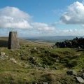
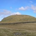
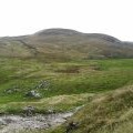
Rye Loaf Hill photos
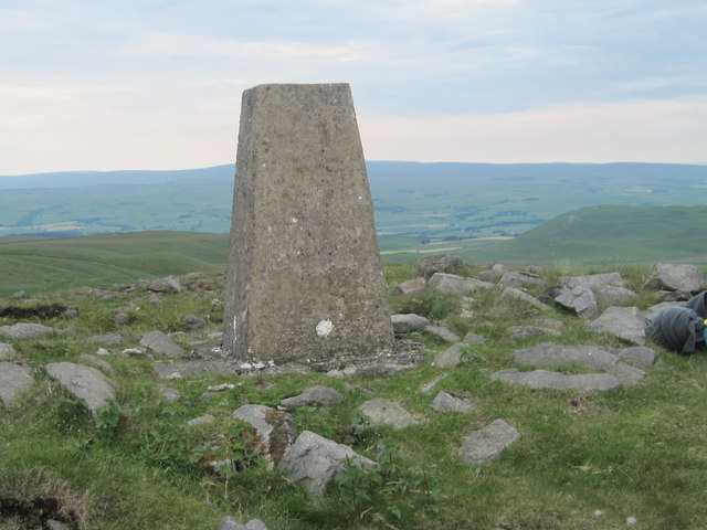
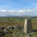
Ordnance Survey Trig Pillar S5231
and licensed for reuse under this Creative Commons Licence
Hover over the map markers to see associated photo. Note, some markers show photographer's position whilst others show photo subject location.
['Ordnance Survey Trig Pillar S5231',54.0656,-2.20897,'/public/geophotos/3003329.jpg'],['Top of Rye Loaf Hill',54.0655,-2.20898,'/public/geophotos/373417.jpg'],['Trig pillar, Rye Loaf Hill',54.0655,-2.20898,'/public/geophotos/2097099.jpg'],['Summit area of Rye Loaf Hill',54.0655,-2.20914,'/public/geophotos/2802498.jpg'],['Rye Loaf Hill (547m)',54.0654,-2.20929,'/public/geophotos/1547666.jpg'],['Rye Loaf Hill',54.0646,-2.20929,'/public/geophotos/373420.jpg'],['Rye Loaf Hill',54.0668,-2.20761,'/public/geophotos/53096.jpg']