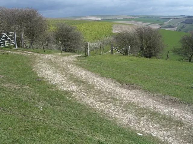
West Hill (boundary)
West Hill (boundary) is the 14974th highest peak in the British Isles and the 2748th tallest in England
Elevation
195.0 m (640 ft)
Prominence
0.0 m (0 ft)
Survey method
Abney level
Features
No feature: top corner of field
Category
- Current County/UA twin-Top
Nearest town
Hove, City of Brighton and Hove
OS map sheets
OS25: 011 (Brighton & Hove)OS25: 122 (Brighton & Hove)
OS50: 198 (Brighton & Lewes, Haywards Heath)
Notes & comments
Higher than ground on path at TQ 28237 11669
Boundary rises above 195m contour below summit - also at TQ 2825 1168 (est)