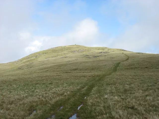
Whitfell
Whitfell is the 4247th highest peak in the British Isles and the 431st tallest in England
Elevation
573.0 m (1880 ft)
Prominence
221.0 m (725 ft)
Survey method
Abney level
Features
Large cairn/shelter on tumulus
Category
- Marilyn
- Dewey
- Wainwright Outlying Fell
- Birkett
- Synge
- Fellranger
Hill / mountain range
Nearest town
OS map sheets
OS25: 006N (The English Lakes)OS50: 096 (Barrow-in-Furness & South Lakeland)
Notes & comments
Cairn is 20m SW of trig point (SD 15897 92998)