Black Mount photos
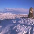
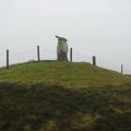
Blackmount summit

and licensed for reuse under this Creative Commons Licence
Hover over the map markers to see associated photo. Note, some markers show photographer's position whilst others show photo subject location.
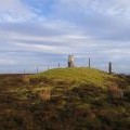
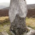
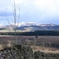
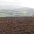
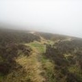
['Blackmount summit',55.6984,-3.46543,'/public/geophotos/20095.jpg'],['The Trig Point 516m ASL',55.6984,-3.46543,'/public/geophotos/326252.jpg'],['Black Mount trig point',55.6984,-3.46543,'/public/geophotos/2294999.jpg'],['Black Mount from Kerswell',55.6985,-3.46533,'/public/geophotos/736106.jpg'],['Decaying trig point',55.6982,-3.46563,'/public/geophotos/608662.jpg'],['Moorland, Black Mount',55.6982,-3.46468,'/public/geophotos/2294969.jpg'],['Sheep tracks, Black Mount',55.6975,-3.4637,'/public/geophotos/608667.jpg']