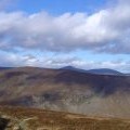
Burnt Hill photos
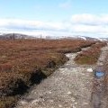
Track junction, Burnt Hill

and licensed for reuse under this Creative Commons Licence


Hover over the map markers to see associated photo. Note, some markers show photographer's position whilst others show photo subject location.
['Track junction, Burnt Hill',56.8886,-2.95764,'/public/geophotos/1773891.jpg'],['The summit of Burnt Hill',56.8892,-2.95716,'/public/geophotos/1332807.jpg'],['Path down from Burnt Hill',56.8899,-2.95783,'/public/geophotos/1016506.jpg'],['Burnt Hill summit',56.8893,-2.95717,'/public/geophotos/1779939.jpg']