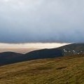
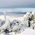
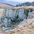
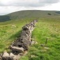
Innerdownie photos
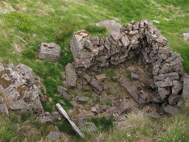
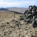
Shelter, Innerdownie
and licensed for reuse under this Creative Commons Licence


Hover over the map markers to see associated photo. Note, some markers show photographer's position whilst others show photo subject location.
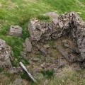
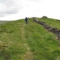
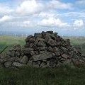
['Shelter, Innerdownie',56.2095,-3.66727,'/public/geophotos/2130452.jpg'],['Summit, Innerdownie',56.2095,-3.66776,'/public/geophotos/2130445.jpg'],['Approaching Innerdownie Summit',56.2092,-3.66758,'/public/geophotos/2208089.jpg'],['Innerdownie cairn',56.2102,-3.66763,'/public/geophotos/1948111.jpg'],['Innerdownie',56.2089,-3.66822,'/public/geophotos/2747376.jpg'],['Stone wall and fence on Innerdownie',56.2092,-3.66855,'/public/geophotos/27722.jpg'],['Shelter',56.2092,-3.66855,'/public/geophotos/122972.jpg'],['North side of Innerdownie',56.2101,-3.66891,'/public/geophotos/2131676.jpg'],['Dyke, Innerdownie',56.2088,-3.66869,'/public/geophotos/2131672.jpg'],['Innerdownie cairn towards Tarmangie',56.2083,-3.67012,'/public/geophotos/749182.jpg']