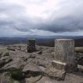
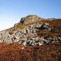
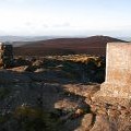
Mither Tap photos
View from Mither Tap
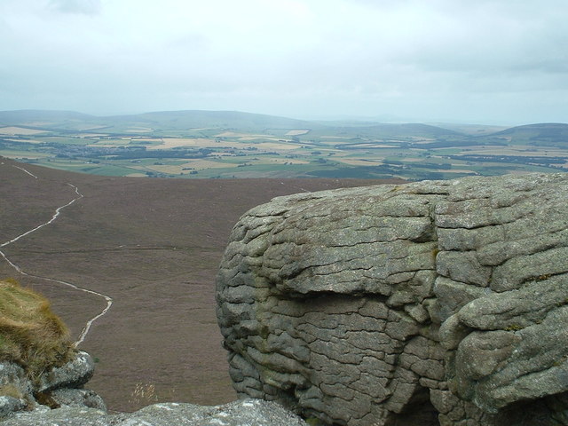
and licensed for reuse under this Creative Commons Licence


Hover over the map markers to see associated photo. Note, some markers show photographer's position whilst others show photo subject location.
['View from Mither Tap',57.2902,-2.52922,'/public/geophotos/286210.jpg'],['Mither Tap (1978)',57.2907,-2.52906,'/public/geophotos/855703.jpg'],['Bennachie viewed from Cornabo',57.2911,-2.52923,'/public/geophotos/632539.jpg'],['Ascent of Mither Tap',57.291,-2.52906,'/public/geophotos/2781840.jpg'],['Mither Tap Bennachie',57.291,-2.5294,'/public/geophotos/761447.jpg'],['Mither Tap from Gallows Hill car park',57.291,-2.52901,'/public/geophotos/1093800.jpg'],['Hill fort on the Mither Tap',57.291,-2.52901,'/public/geophotos/1093804.jpg'],['Summit Indicator and Trig Point on Mither Tap',57.2909,-2.5289,'/public/geophotos/976028.jpg'],['Mither Tap',57.2909,-2.5289,'/public/geophotos/1083659.jpg'],['Mither Tap View Indicator and Triangulation Pillar',57.2911,-2.52907,'/public/geophotos/1083617.jpg']