White Meldon photos
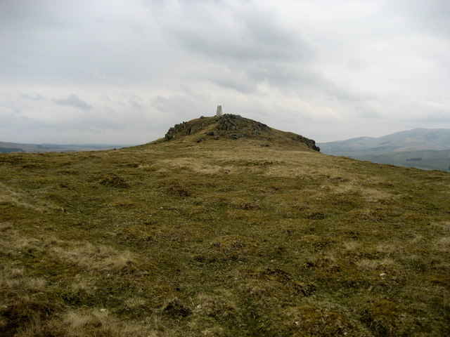
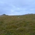
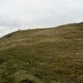
Approaching Summit of White Meldon
and licensed for reuse under this Creative Commons Licence
Hover over the map markers to see associated photo. Note, some markers show photographer's position whilst others show photo subject location.
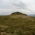
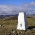
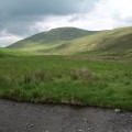
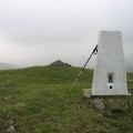
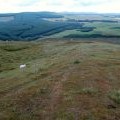
['Approaching Summit of White Meldon',55.6728,-3.2427,'/public/geophotos/778732.jpg'],['White Meldon Trig Point',55.6726,-3.2427,'/public/geophotos/753565.jpg'],['Meldon Burn and the south west flank of White Meldon',55.6725,-3.24333,'/public/geophotos/516188.jpg'],['A dull day on White Meldon',55.6724,-3.24333,'/public/geophotos/1644265.jpg'],['Summit of White Meldon, 427 metres',55.6724,-3.24333,'/public/geophotos/2166867.jpg'],['Hill fort, White Meldon summit',55.6737,-3.24273,'/public/geophotos/1391097.jpg'],['White Meldon, summit',55.672,-3.24252,'/public/geophotos/463751.jpg'],['Upper Flanks of White Meldon',55.6722,-3.24396,'/public/geophotos/778720.jpg']