Cadair Berwyn North Top photos
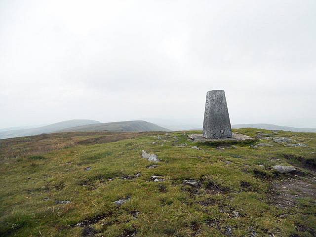
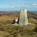
As high as you can get around here
and licensed for reuse under this Creative Commons Licence

Hover over the map markers to see associated photo. Note, some markers show photographer's position whilst others show photo subject location.
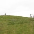
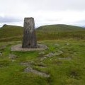
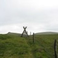
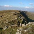
['As high as you can get around here',52.8838,-3.38024,'/public/geophotos/2532036.jpg'],['Cadair Berwyn from Craig Berwyn',52.8838,-3.38009,'/public/geophotos/1625521.jpg'],['Cairn, Trig Point and Stile on the summit of Cadair Berwyn',52.8838,-3.38039,'/public/geophotos/471595.jpg'],['Cadair Berwyn',52.8835,-3.38023,'/public/geophotos/973635.jpg'],['Trig Point, Cadair Berwyn',52.8836,-3.38009,'/public/geophotos/1994491.jpg'],['Summit of Cadair Berwyn',52.8835,-3.38008,'/public/geophotos/611130.jpg'],['Stile on the Cadair Berwyn marking the start/end of the permissive path to/from Cwm Pennant',52.8842,-3.38129,'/public/geophotos/471590.jpg'],['View towards the main summit from Cadair Berwyn New Top',52.8825,-3.38064,'/public/geophotos/1201011.jpg']